West Alder · Glenhaven
Glenhaven · Whatcom County

Two Premium Residential Building Lots

The Highest Homesite in Glenhaven

Privacy · Protected Forest · Between Two Lakes — Lots 15 & 16, offered together, at the very top of the ridge.

2 lots · sold together ≈ 26,148 SF combined Highest elevation in Glenhaven Protected forest behind
See the property Explore the area Filmed above the property · owner drone footage
Property Snapshot

Two lots. One ridge. Everything you need to know.

The essentials, at a glance — before the story, before the scroll. Full documentation is available in the information package below.

2Legal Residential Lots
26,148 SFCombined (13,068 + 13,080)
No. 1Highest Homesite in Glenhaven
6 minTo the Lake Whatcom Boat Launch
The Land

What's for sale

  • Two legal residential building lots — Lots 15 & 16
  • Approximately 26,148 sq ft combined
  • Highest homesite in the Glenhaven community
  • Offered together, as a single purchase
Terrain & Character

What's on it

  • Lot 16 previously cleared and prepared for construction
  • Lot 15 retains mature, standing cedar trees
  • A glacial erratic boulder, roughly 15,000 years old
  • A privacy buffer runs alongside Lot 16
Privacy & Access

What surrounds it

  • Protected forest directly behind the property
  • Alder Trail begins immediately behind the lots
  • Walking distance to Cain Lake
  • ≈ 6 minutes to the Lake Whatcom boat launch
Buildable & Utilities

What's ready

  • Community water available
  • Power available at the road
  • Existing septic design on file for Lot 16
  • Potential Mt. Baker views from a future second story
The Property

Lots 15 & 16 — two titles, one ridge.

The annotated survey below marks the exact boundary of both lots — where the line runs, how the two parcels divide, and what borders them on every side.

Annotated aerial survey showing the boundary of Lot 15 (13,068 sq ft) and Lot 16 (13,080 sq ft) along West Alder Drive
Lot 15 · 13,068 SF  +  Lot 16 · 13,080 SF  =  26,148 SF combined
Owner drone survey · property outlines approximate
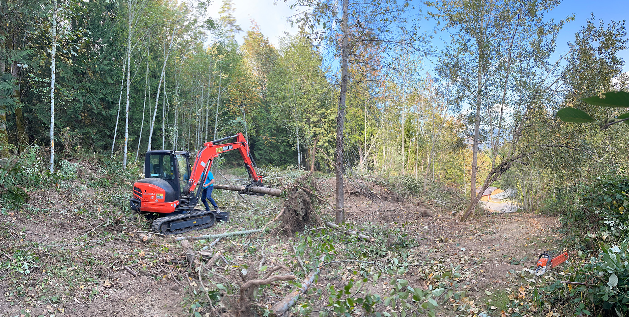
Lot 16 being cleared and prepared for construction
Lot 16

Cleared, prepped, ready to build

Already cleared and prepared for construction — the slow, expensive first chapter of a custom build, already written. An existing septic design is on file. Design your home and go.

Lot 15

Mature cedars, left natural

Standing western red cedars, moss, ferns, and the privacy only established timber provides — walked here on video by the owner. Keep it wild as your own greenbelt, or build within the trees.
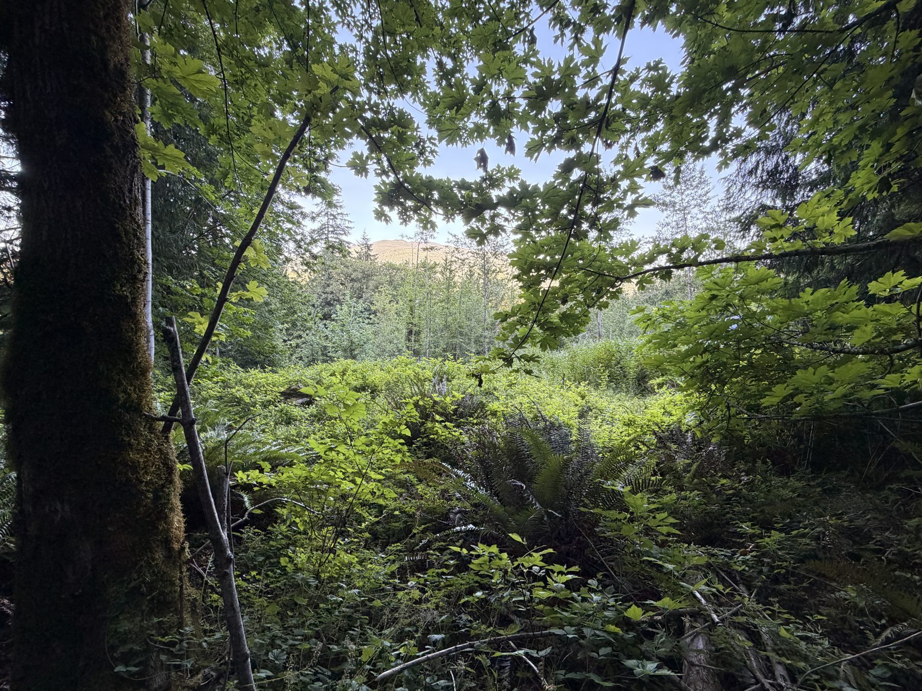
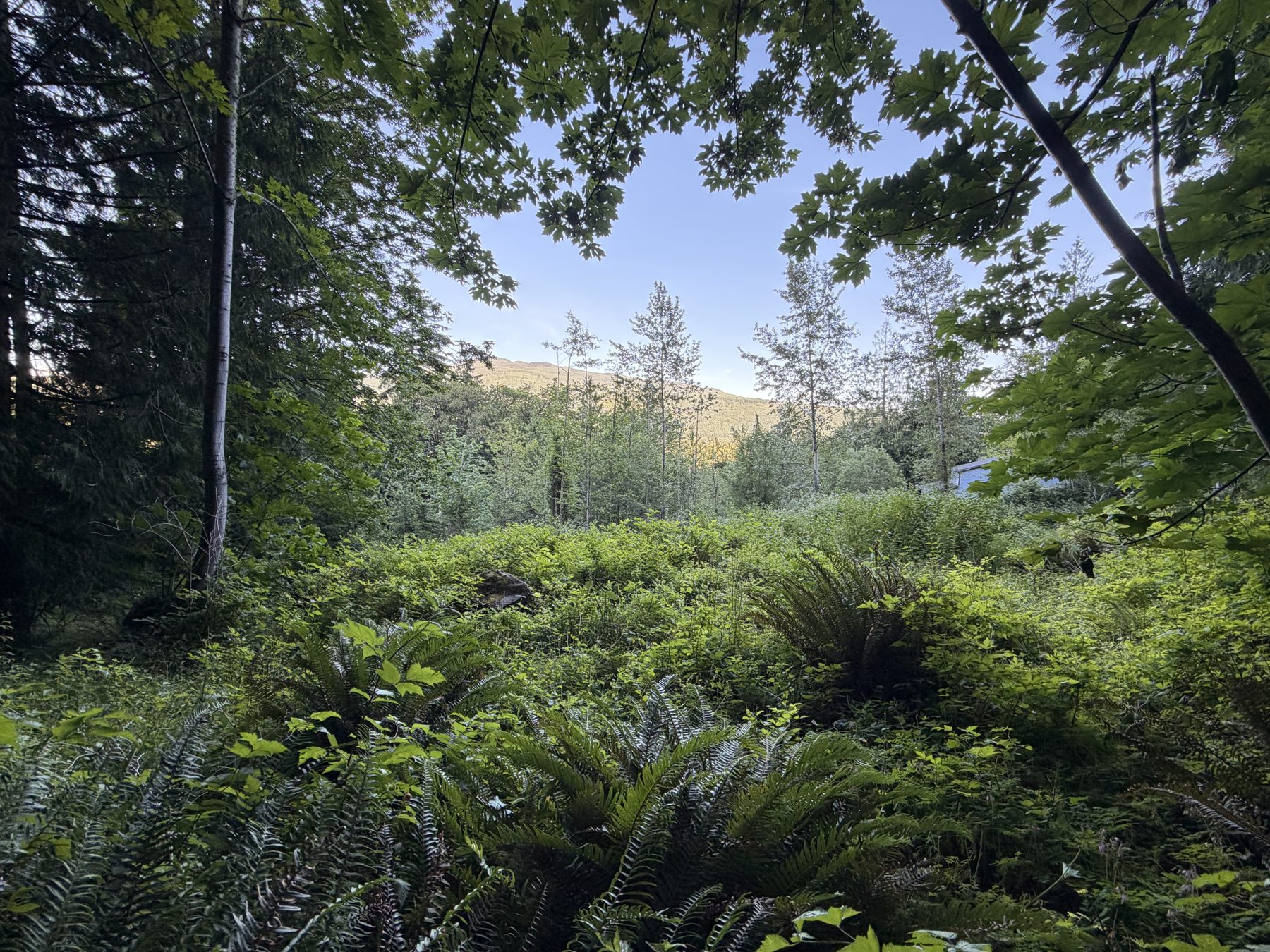
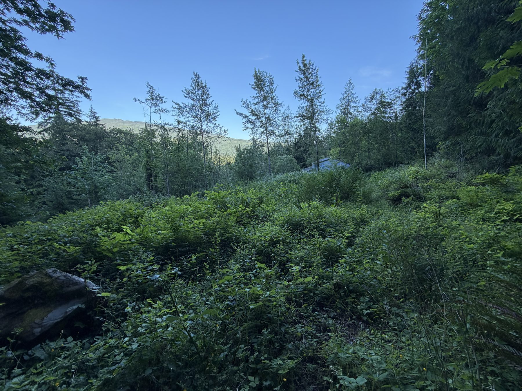
On the property, looking across the natural lot
On the property, forest edge and undergrowth
On the property, mature trees and terrain

Walking the lots, June — owner photos. More photos and full drone footage available on request.

And one thing no other listing has: a glacial erratic.

A massive boulder carried here by ice-age glaciers and set down roughly 15,000 years ago sits on the natural lot. Landscape architects pay to install stone like this. Yours came with the continent's receipt.

Buyer Confidence

The questions serious land buyers ask.

Can I build?
Yes. Both lots are legal, buildable residential parcels — Lot 16 is already cleared, prepped, and holds an existing septic design.
What utilities are available?
Community water and power are available at the road, with an existing septic design already on file for Lot 16.
Where are the boundaries?
See the annotated survey above — the exact outline and dividing line between Lot 15 and Lot 16 are marked directly on the aerial photo.
How much privacy is there?
Protected forest borders the back of the property, mature cedars stand on Lot 15, and a privacy buffer runs beside Lot 16.
What community amenities exist?
Glenhaven's own lodge and maintained roads, plus lake access at Cain Lake and the Alder Trail into the preserve behind the lots.
What sets these lots apart in Glenhaven?
The highest elevation in the community, backing directly onto forest that can never be built on — a combination no other lot here has.

The two scarcest words in land are above and behind. Here, both are already spoken for — by elevation and by law.
For Serious Buyers

Download the Property Information Package

Assembled the way a developer would present it — not the way a county office would file it. Everything a buyer, builder, or lender needs to move forward.

The Package

Seven documents. One request.

Request the full information package and receive it by email — ready to forward to your architect, builder, or lender.

Request the package
  • 01 Property Overview
  • 02 Property Features
  • 03 Annotated Aerial Map
  • 04 Plat Map
  • 05 Site Plan
  • 06 Septic Design
  • 07 Property Information
The Region

Between Lake Whatcom and Cain Lake, minutes from Sudden Valley's lakefront homes, with direct I-5 access — this ridge sits at the center of Whatcom County's best terrain.

The Area

The highest-value ground nearby.

Most listings say "close to trails." Here's the actual inventory — the destinations that matter most, and how long it takes to reach them.

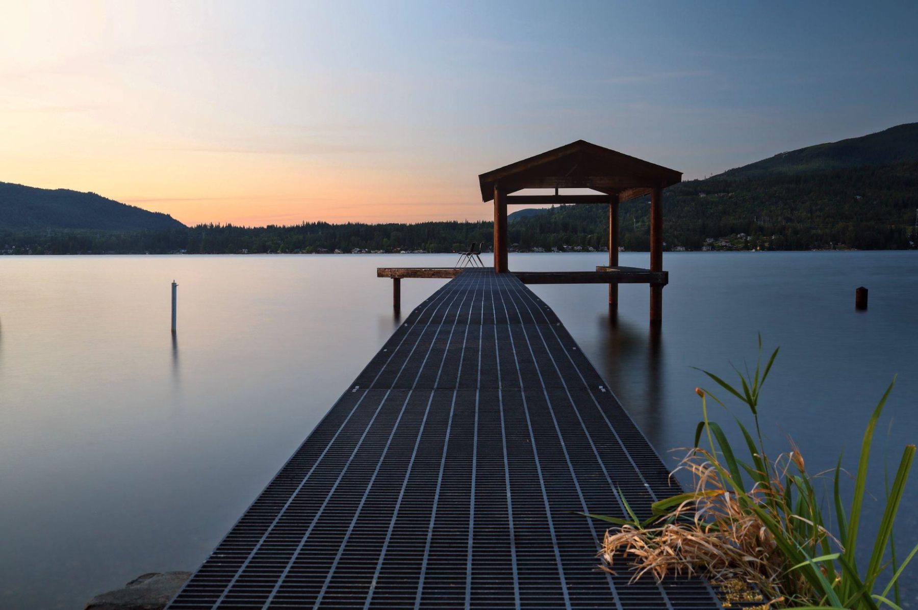
Dock on Cain Lake at sunset

Cain Lake

Walking distance

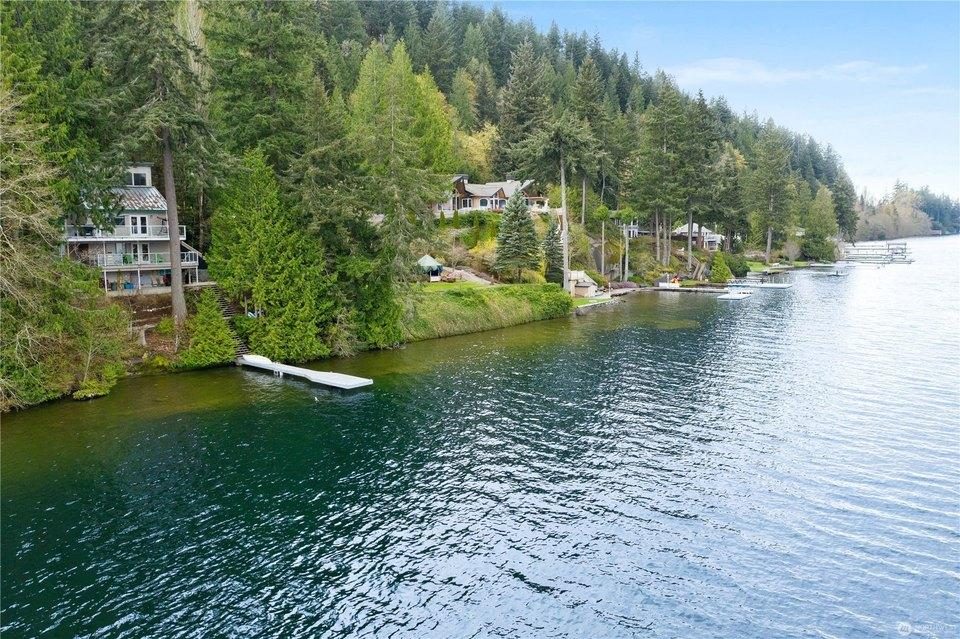
Glenhaven's own lake — swimming, kayaks, trout, and the community dock. The valley the property overlooks runs down toward its shore.

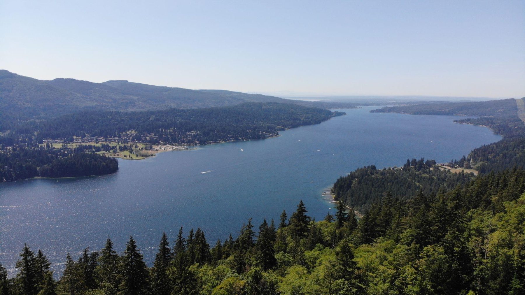
Aerial view of Lake Whatcom

Lake Whatcom

≈ 6 min to boat launch

Ten miles of freshwater stretching from Bellingham into the hills — boating, fishing, and shoreline parks. Glenhaven sits just over the ridge from its south end.

Lakefront homes and docks at Sudden Valley on Lake Whatcom

Sudden Valley

≈ 15 min

The master-planned community on Lake Whatcom — golf course, marina, beaches — where homes regularly sell from $700K into the millions. Proof this corner of the county carries serious value.

Mount Baker and the Twin Sisters at dusk

Mount Baker

On the horizon · ski ≈ 90 min

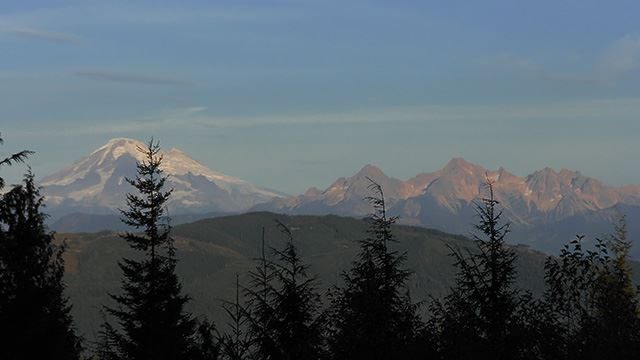
A 10,781-foot glaciated volcano — and the view potential from a future second story on these lots. Its ski area holds the world record for snowfall in a single season.

Mountain biker on Galbraith Mountain trails

Galbraith Mountain

≈ 20 min

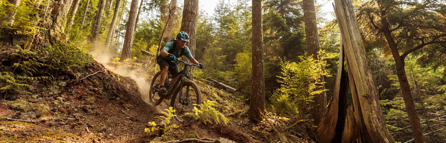
65+ miles of purpose-built mountain bike trail on the ridge between Lake Whatcom and Bellingham — one of the best-known riding networks in the country.

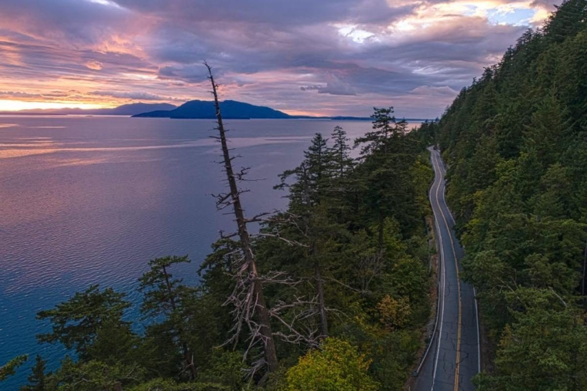
Chuckanut Drive winding along the coast at dusk

Chuckanut Drive & the Chuckanuts

≈ 25–30 min

Washington's famous coast road, carved along the cliffs where the Cascades' foothills meet saltwater — oyster bars, viewpoints, and Oyster Dome's summit view of the bay and islands.

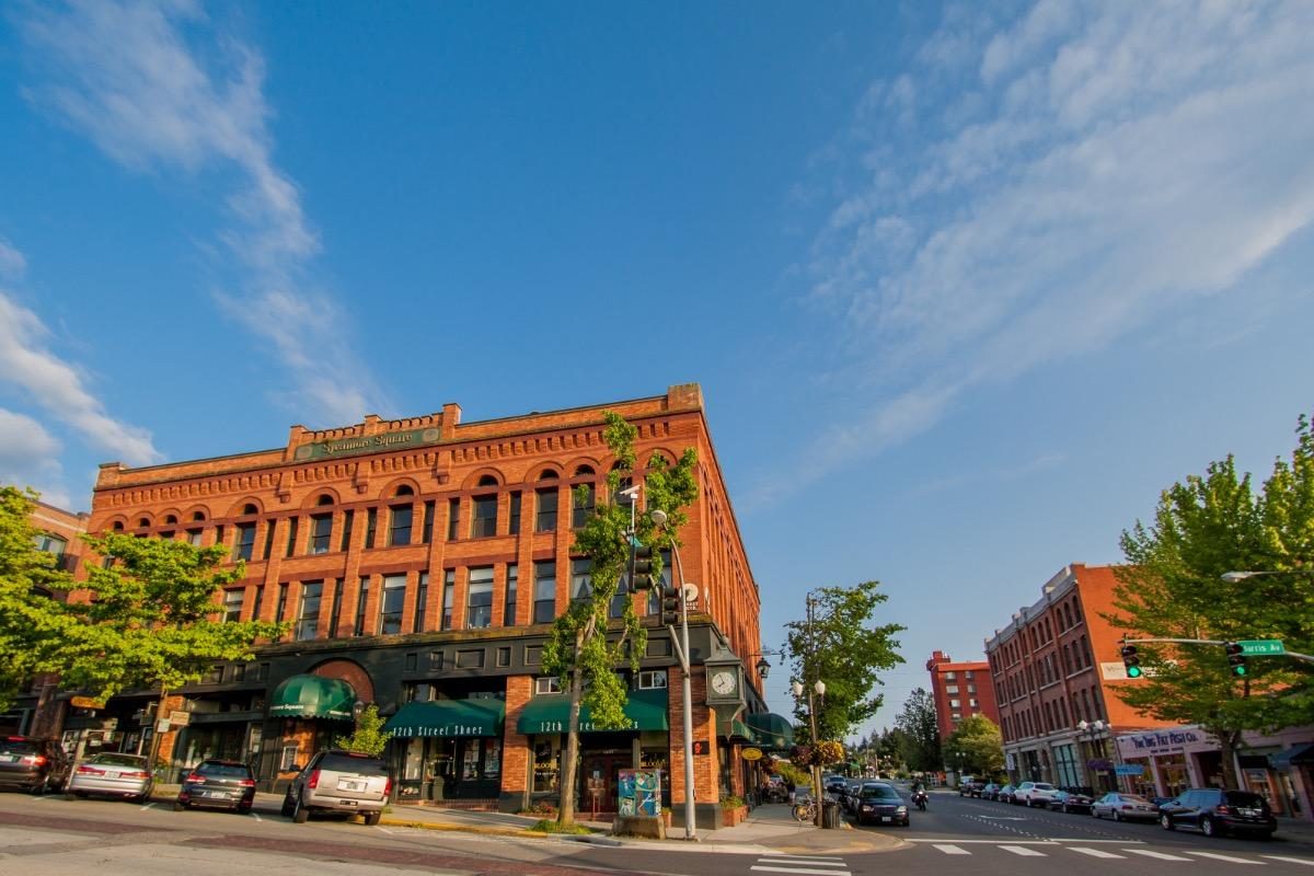
Historic brick buildings in Fairhaven, Bellingham

Fairhaven

≈ 25 min

Bellingham's historic brick district on the bay — bookstores, restaurants, the village green, and the Alaska ferry terminal. The kind of neighborhood other towns try to build from scratch.

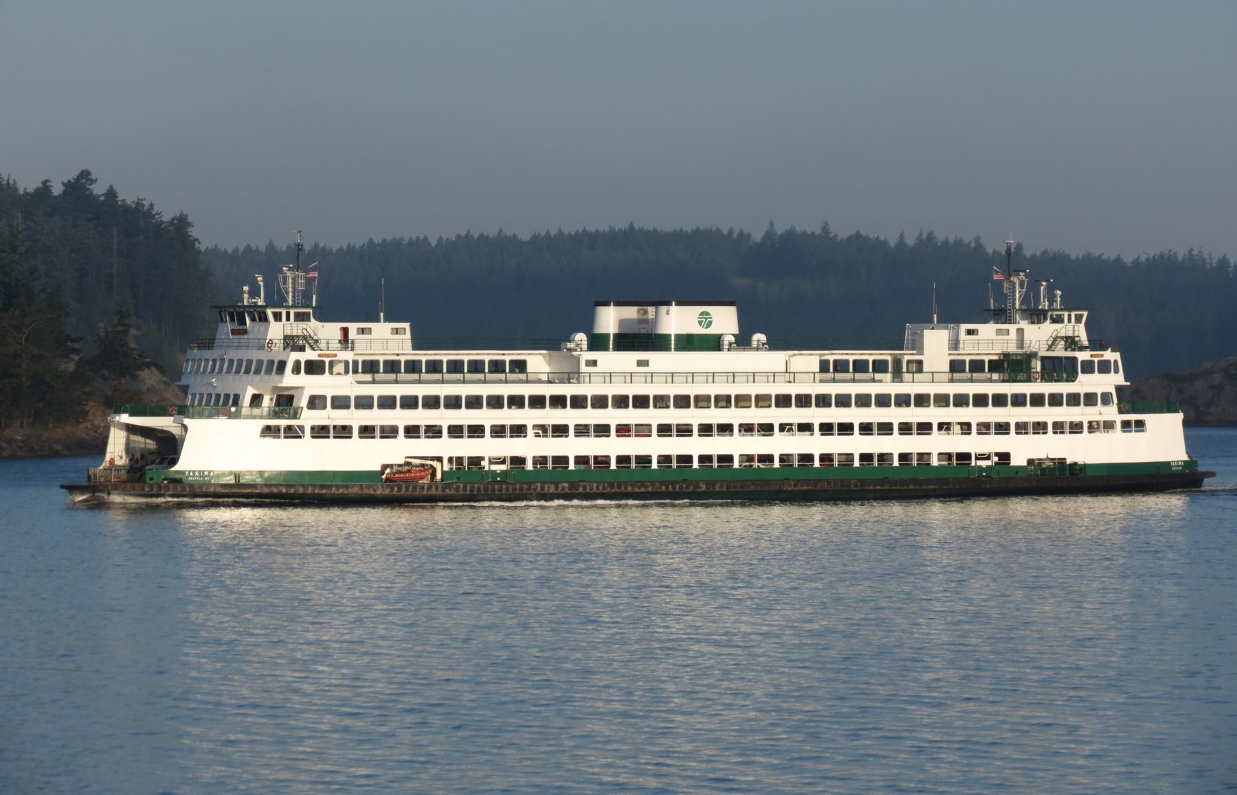
Washington State Ferry crossing to the islands

Anacortes & the ferries

≈ 40 min

The gateway to the islands — a working marina town where Washington State Ferries depart for the San Juans all day. Boat owners: this is where yours lives.

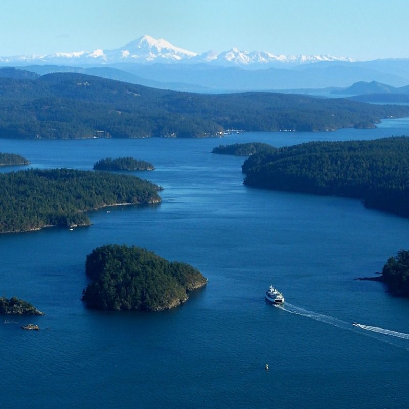
Aerial view of the San Juan Islands with a ferry

The San Juan Islands

Ferry from Anacortes

172 named islands in the rain shadow — orcas, harbors, farm stands, and some of the most protected sailing water in North America. A day trip from this ridge.

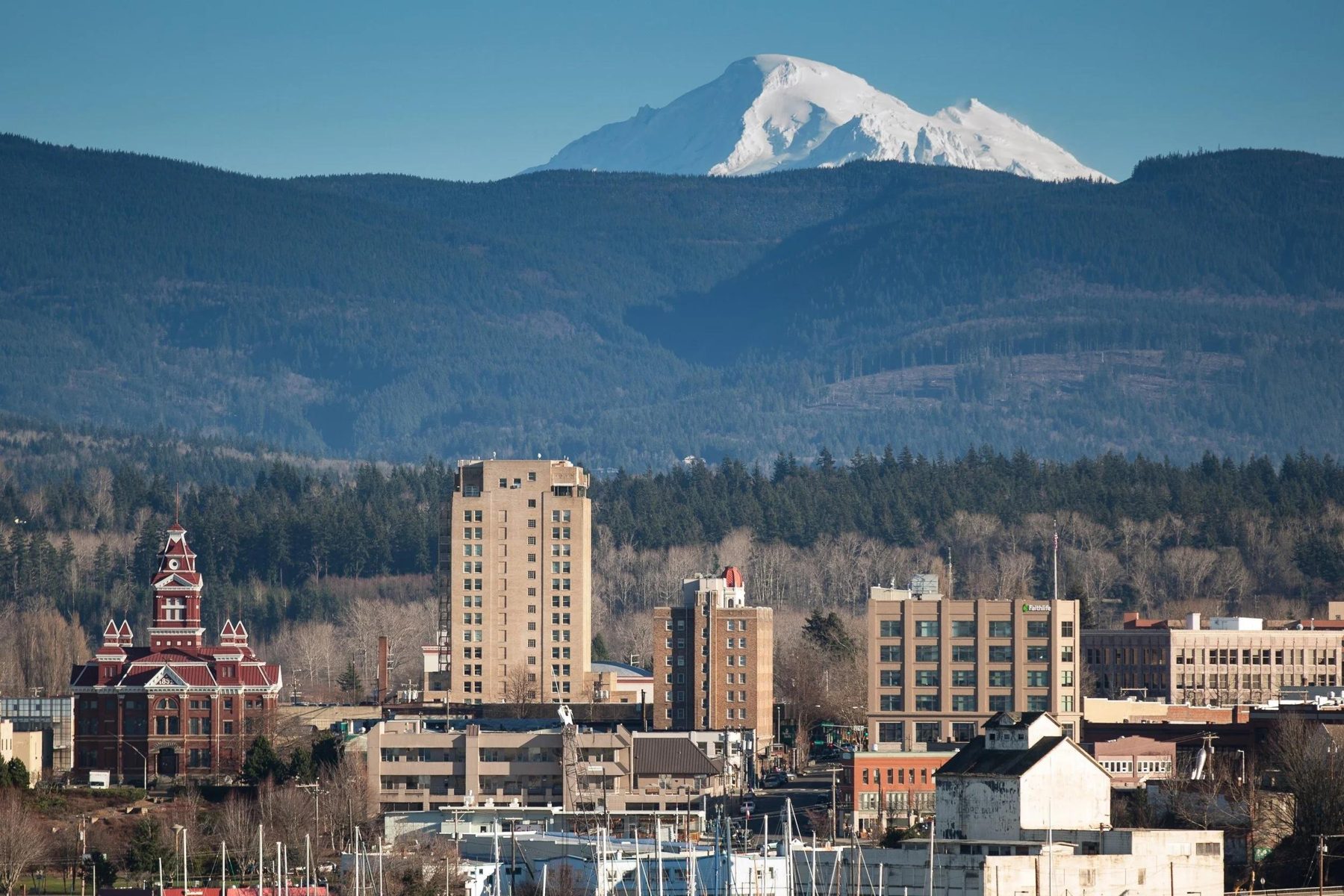
Bellingham skyline with Mount Baker behind

Bellingham

≈ 20 min

The city that anchors it all — about 100,000 people, Western Washington University, hospitals, and a food-and-outdoors culture that keeps landing on "best town" lists.

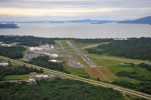
Aerial view of Bellingham International Airport beside I-5

I-5 & BLI Airport

≈ 8 min · ≈ 30 min

The detail that changes everything: this hilltop feels remote, but the freeway on-ramp is eight minutes away — and Bellingham International is thirty.

V

Vancouver, BC & YVR

≈ 90 min · border ≈ 45 min

One of the world's most livable cities, close enough for dinner — the Peace Arch border crossing is under an hour away. YVR opens direct routes across Asia and Europe.

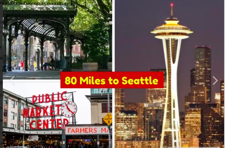
Seattle — Pike Place Market and the Space Needle

Seattle & SEA

≈ 90 min

Ninety minutes south: the region's economic engine, pro sports, and Sea-Tac's global network. Close enough for a meeting or a flight, far enough that none of it follows you home.

Samish Bay with Mount Baker on the horizon
Saltwater to volcano — the whole county in one frame.
Samish Bay & Mount Baker
Why It Holds Value

Three kinds of proximity.

01

Near the wealth

Sudden Valley's golf-and-marina community is 15 minutes away, with homes from $700K into the millions. Established high-value residential life already exists in this exact corner of the county — this ridge sits beside it at land prices.

02

Near the wild

Protected forest at the property line. Galbraith's trail network at 20 minutes. The Chuckanuts and the saltwater at 25. A record-snowfall volcano on the horizon. None of it can be built over.

03

Near everything

I-5 in 8 minutes. Two full-service towns in 20. Two international cities and two major airports within about 90 minutes, in opposite directions. Remote is a feeling here — not a logistics problem.

The Milky Way over a dark lake
And this is the night sky — eight minutes from the freeway.
Dark-sky quiet, city convenience
The Map

Where it sits.

Aerial view of the Glenhaven community and Cain Lake
The setting from above — Cain Lake and the Glenhaven community.
Alder Trail / protected forestproperty line
Cain Lakewalking distance
Lake Whatcom boat launch≈ 6 min
I-5 (Alger exit)≈ 8 min
Lake Samish≈ 10 min
Sudden Valley≈ 15 min
Bellingham≈ 20 min
Galbraith Mountain trails≈ 20 min
Fairhaven · Chuckanut Drive≈ 25–30 min
Bellingham International Airport≈ 30 min
Anacortes ferries (San Juans)≈ 40 min
Canadian border (Blaine)≈ 45 min
Mt. Baker Ski Area≈ 90 min
Seattle · Vancouver, BC≈ 90 min

Times approximate, normal traffic. Buyer to verify all information independently.

Come stand on it.

Lots 15 & 16 are offered together. The drone footage is real and so is the quiet — but the view works better in person.

Email Jimmy